Coronavirus updates and guidance

COVID-19


  • Contact Us
  • Privacy Policy
  • EN
  • |
  • AL
Menu
Bashkia e Tiranës logo
28 ℃

13 June 2025

0800 0888 Free Number
Administrative
Areas
Tirana map
  • Administration and Citizens
  • Culture & Events
  • Tourism
  • Economy and Business
  • City Map Get Involved
Administrative
Areas
Tirana map
Menu Close
  • Administration and Citizens
  • Culture & Events
  • Tourism
  • Economy and Business
  • City Map
  • Your Voice
  • Applications and Information
    • Dependency Institutions and Agencies
    • Applications for the citizens
  • Legislation and Administration
    • Mayor of Municipality
    • Deputy Mayors
    • Municipal Council
  • Activities and Publications
    • Latest News & Events
  • Education
    • Pre-kindergartens
    • Kindergartens
    • Schools
  • Cultural Projects
    • Cultural Priorities
    • Calendar of activities
    • Cultural Activities
    • Calls for applications
  • Culture Heritage
    • On Culture Heritage
    • Tangible Culture Heritage
    • Intangible Culture Heritage
    • Priorities
    • Cultural Heritage Activities
    • Proposals for naming parts of public territory
    • Contact
  • Events
    • Photos & Videos from activities
  • Tirana History
    • Tirana - Short Story
    • Heritage and Architecture Evolution
  • Plan Your Trip
    • Arriving in Tirana
    • 1,2,3 days in Tirana
    • A Journey through TIRANA
    • City Map
    • Strolling Tirana
  • Discover Tirana
    • Tirana City Map
    • Theatres and Cinemas
    • Attractions and Sights
    • Museums
    • Galleries and Art Spaces
    • Religious Objects (Religious Harmony)
    • Tirana Surroundings
  • Agribusiness
    • Agritourism
    • Traditional restaurants
    • Handicraft workshops
  • Eat, Drink, Shop
    • Accommodation
    • Restaurants
    • Bars
    • Nightlife
    • Shopping areas
  • Airports and Transport
    • Airports
    • Bicycle Rental
    • Rent a car
    • Bus Lines
    • Terminals
  • Contact and Utilities
    • Emergencies and Hospitals
    • Info Points
    • ATM
    • Post Offices
    • Guides and tour operators
    • Libraries
    • Contact Us
  • Business & Financial Opportunities
    • Invest in Tirana
    • Business Angels
  • Diaspora and Migration
  • Projects
    • Lana River
    • Swedfund project
    • Vocational School
  • City Map
    • Bars
    • Restaurants
    • Tourism
    • Culture
    • Transportation
    • Administration Offices
    • Tirana Bus Map
  • Transparency
    • Forum
    • Territorial Planning and Development
    • Open Data
    • Project Financing
    • Walkability App

Emergency Numbers

Fire - 128

Ambulance - 127

Police - 129

  • Administration and Citizens
    • Applications and Information
      • Dependency Institutions and Agencies
      • Applications for the citizens
    • Legislation and Administration
      • Mayor of Municipality
      • Deputy Mayors
      • Municipal Council
    • Activities and Publications
      • Latest News & Events
    • Education
      • Pre-kindergartens
      • Kindergartens
      • Schools
  • Culture & Events
    • Cultural Projects
      • Cultural Priorities
      • Calendar of activities
      • Cultural Activities
      • Calls for applications
    • Culture Heritage
      • On Culture Heritage
      • Tangible Culture Heritage
      • Intangible Culture Heritage
      • Priorities
      • Cultural Heritage Activities
      • Proposals for naming parts of public territory
      • Contact
    • Events
      • Photos & Videos from activities
  • Tourism
    • Tirana History
      • Tirana - Short Story
      • Heritage and Architecture Evolution
    • Plan Your Trip
      • Arriving in Tirana
      • 1,2,3 days in Tirana
      • A Journey through TIRANA
      • City Map
      • Strolling Tirana
    • Discover Tirana
      • Tirana City Map
      • Theatres and Cinemas
      • Attractions and Sights
      • Museums
      • Galleries and Art Spaces
      • Religious Objects (Religious Harmony)
      • Tirana Surroundings
    • Agribusiness
      • Agritourism
      • Traditional restaurants
      • Handicraft workshops
    • Eat, Drink, Shop
      • Accommodation
      • Restaurants
      • Bars
      • Nightlife
      • Shopping areas
    • Airports and Transport
      • Airports
      • Bicycle Rental
      • Rent a car
      • Bus Lines
      • Terminals
    • Contact and Utilities
      • Emergencies and Hospitals
      • Info Points
      • ATM
      • Post Offices
      • Guides and tour operators
      • Libraries
      • Contact Us
  • Economy and Business
    • Business & Financial Opportunities
      • Invest in Tirana
      • Business Angels
    • Diaspora and Migration
    • Projects
      • Lana River
      • Swedfund project
      • Vocational School
  • City Map
    • City Map
      • Bars
      • Restaurants
      • Tourism
      • Culture
      • Transportation
      • Administration Offices
      • Tirana Bus Map
  • Your Voice
    • Transparency
      • Forum
      • Territorial Planning and Development
      • Open Data
      • Project Financing
      • Walkability App

Emergency Numbers

Fire - 128
Ambulance - 127
Police - 129

Zall-Herr

  • Home
  • Administrative Areas
  • Zall-Herr
Zall-Herr

    Erion Veliaj - Youtube

    Twitter

    Tweets by City Of Tirana

    Share

    facebook
    twitter
    whatsapp

    Overview

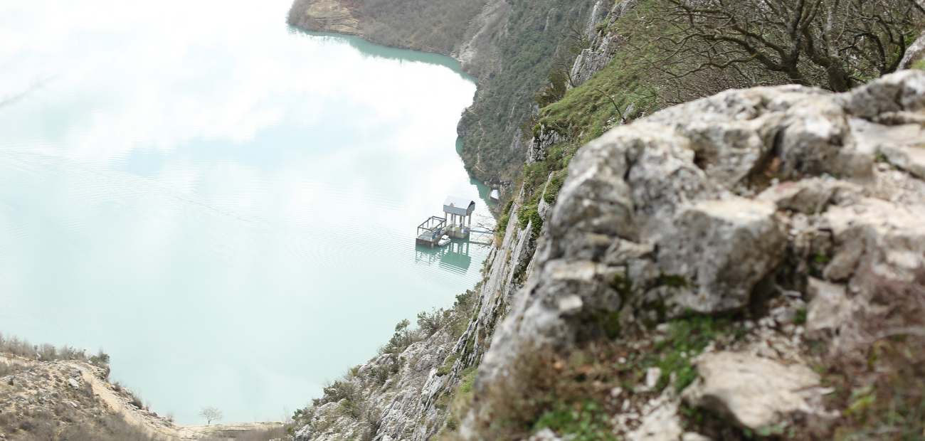
    The territory of Zall-Herr is located about 15 km away from the Centre of Tirana and 9 km from Kamza, positioned around the valley of the Terkuza River, which lies in the northern part of Tirana and flows into the rivers Tirana and Ishem. The Terkuza River has a length of 30 km and covers the area of Zall-Herr from the east to the west. 
    The territory is hilly mountainous, and it varies from 55 metres to 400 metres above the sea level. The highest peak is the mountain of Priska e Vogel (1217 metres). 
    The territory of Zall-Herr includes 10 villages, which have a population of about 11300 inhabitants. Some military units are located within the territory, among the most important ones: The Commando Forces and the Rapid Reaction Brigade. 
    The folk outfits of the area of Zall-Herr are well-known for their interesting and special style. 

    History

    Tracks of the dwellings from antiquity are found in the territory of Zall-Herr. In the village Priske e Vogel, there are the ruins of a church with the toponym “Qisha”, which comes as a dialect from the depths of the centuries. The ruins are just 7 m2 and about 5 m high, meanwhile the surrounding surface is 4000 m2 in a “plateau” with big carved stones. According to the archaeologists, the cult object dates back in the XII century 
    Even in this territory the time has left the tracks of the invasion from the Ottoman Empire. It is thought that the catholic civilization continued until the end of XVIII century (The inscriptions in the language of the Ottoman Empire date as back as 1826). 
    The party “Legality Movement”, established in 1943, developed a part of its activity in the village Zall-Herr. The main supporter of this was Captain Xhemal Herri originating from this village and a participant of the army of King Zog I. In his house, in Zall-Herr, the delegates of the two organisations Socialist Party and Albanian Communist Party and the Balli Kombetar (National Front) were gathered in 1943. 
    The region of Zall-Herr was identified before 1990s with one of the most important army regiments of the communist regimes, the one of tanks 5009. 

    Economy and environment

    The economy is mainly focused on the agricultural production. The villages of the area of Zall-Herr are rich in olive trees, which create a green picturesque crown in some villages such as Radheshi. 
    With the development of agriculture in the 1970s, some villages of this area were characterized with the cultivar production of special vegetables and fruit trees. The Cultivar of Zall-Herr Aubergine and of “Alberto” peach is to be distinguished. 
    One of the most characteristic plants of the region of Zall-Herr is even the strawberry tree (Arbutus Unedo). This tree is famous for its by-products; that are an alcoholic drink called raki and for its must. 
    The main incomes of the farm families of this region come from the products such as: olives, olive oil, some vegetables, honey, milk, etc. 
    Tirana Municipality has undertaken the initiative to promote these bio products through the local festivals, which are becoming a tradition for the promotion of the agricultural products in the rural areas.


    Share

    facebook
    twitter
    whatsapp

    Need Help?

    • Contact us through E-mail or Telephone
    • 0800 0888
    • [email protected]
    • Skanderbeg Square, Postal code 1001, Tirana, Albania

    Tirana

    • Privacy Policy
    • Contact Us